

FlowGIS Mobile
Discover how FlowGIS Mobile optimizes utility mapping and asset management. Read our full review of this powerful Esri-based Windows application.
When managing municipal infrastructure or public utilities, having immediate access to geographic information is crucial. FlowGIS Mobile utility mapping software, developed by Magnolia River, offers a robust, GIS-centric solution built specifically for the Windows platform to help field crews streamline maintenance, map assets, and make data-driven decisions on the go.
What is FlowGIS Mobile Utility Mapping?
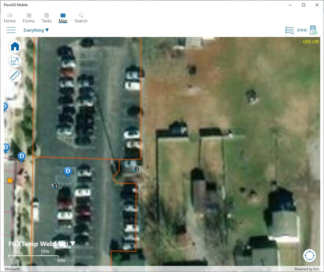
FlowGIS Mobile utility mapping is a professional-grade field tool designed for municipalities, utility providers, and infrastructure organizations. Built on industry-standard Esri technology, the software bridges the gap between office-based GIS databases and field operations. It allows crews to access, collect, and update spatial data directly from their Windows devices, ensuring that asset registries remain accurate and up to date.
Please note: To run this application successfully, the .NET Desktop Runtime must be installed on your Windows device.
Key Features and Field Capabilities
This software stands out by translating complex spatial datasets into actionable tasks for field workers. Here is what you can accomplish with the platform:
- Offline Data Access & Collection: Field technicians can download maps and collect critical asset data even in remote areas without active cellular connectivity.
- Asset Life-Cycle Management: Track infrastructure from initial installation through routine inspections to eventual decommissioning.
- Real-Time History & Attachments: Access historical maintenance logs, schematics, and file attachments directly from the field, reducing guesswork.
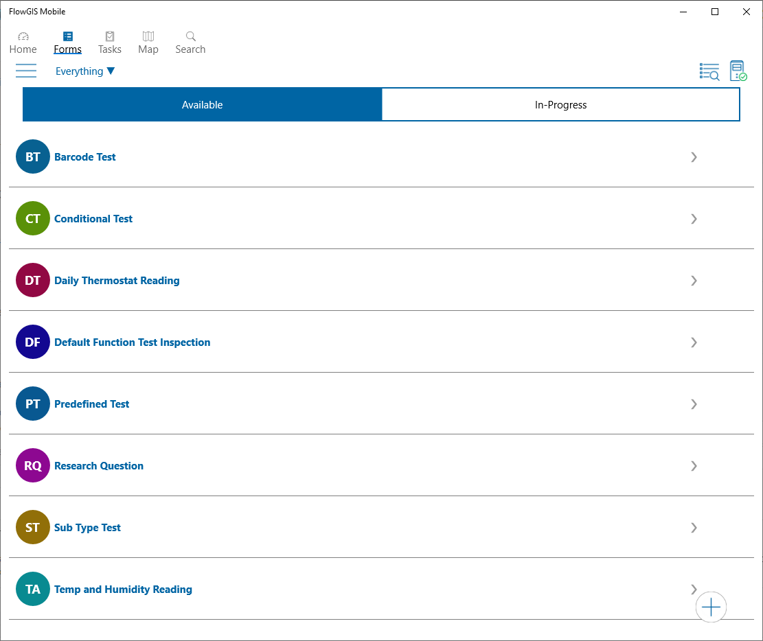
- Automated Workflows: Streamline the process of assigning tasks, conducting regulatory inspections, and mapping new connections.
Who Is This Windows GIS Tool For?
This application is highly specialized for enterprise and public sector environments. It is ideal for water, gas, and electric utilities, as well as municipal public works departments that require tight integration with Esri mapping systems. By automating inspections and simplifying spatial data collection, organizations can expect improved regulatory compliance, enhanced crew safety, and lower operational overhead.
Get Started with FlowGIS Mobile
If your organization is looking to modernize its field workflows and leverage spatial intelligence, this application is a powerful addition to your toolkit. To explore the platform further and evaluate it for your organization's deployment, visit the official Microsoft Store page to view licensing details and system requirements.